GPS & Road Navigation in Morocco: Offline Maps, Waze & Local SIM Setup
Navigating Moroccan roads is now straightforward thanks to smartphone navigation apps. But what happens when mobile reception drops in a deep Atlas canyon or on remote desert approaches? Should you pay for a standalone rental GPS or rely on your smartphone? From setting up a prepaid SIM to downloading offline regions, here is your essential navigation guide.
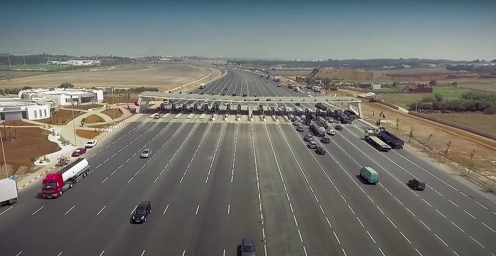
Photo: Ministere de l’Equipement et du Transport — CC BY-SA 4.0 (Wikimedia Commons)
Published on 26 September 2026
Contents
- Golden rule: download offline maps before setting off
- Buy a local prepaid SIM card upon airport arrival
- Waze vs Google Maps: which app works best in Morocco?
- Bilingual road signs: clear and reassuring
Golden rule: download offline maps before setting off
Although 4G and 5G mobile coverage across Morocco is remarkably wide, isolated mountain passes (such as Tizi n'Tichka descents or Todgha Gorges) can pass through brief cellular dead zones.
Open Google Maps, search for your travel region in Morocco, and tap 'Download Offline Map'. Your phone's built-in GPS chip connects directly to navigation satellites without consuming cellular data or getting stranded if coverage drops.
Buy a local prepaid SIM card upon airport arrival
Roaming on foreign carrier plans can quickly cost exorbitant fees. The smart move is buying a prepaid local SIM card right in the airport arrivals terminal (Maroc Telecom, Inwi, or Orange).
For roughly 100 to 150 DH (10 to 15 euros), you receive an activated SIM card loaded with 10 to 20 GB of high-speed data. A physical passport is legally required for registration, which takes only 3 minutes.
Waze vs Google Maps: which app works best in Morocco?
Google Maps provides the best address search accuracy for boutique riads, mountain viewpoints, and realistic driving times tailored to winding elevations.
Waze is popular among local commuters in major metropolitan areas (Casablanca, Rabat, Marrakech, Tangier) for real-time traffic jams, roadworks, and road camera alerts.
Bilingual road signs: clear and reassuring
Don't worry about unreadable signs: most Moroccan directional highway and route signs are bilingual in Arabic and French (often alongside Amazigh Tifinagh script).
Red-topped milestone markers clearly indicate National highways (RN), while yellow-topped markers denote Regional routes (RR).
Frequently asked questions
Do rental cars on Loccor feature Apple CarPlay or Android Auto?
It depends on the vehicle and the agency, nothing is guaranteed: many recent models feature touchscreens compatible with Apple CarPlay and Android Auto for seamless dashboard mapping.
Should I pay extra for a standalone GPS unit at the rental desk?
No. Paying extra for an outdated dashboard GPS unit is unnecessary when your smartphone with a cheap local SIM or offline maps offers far faster, superior routing.
Which phone accessories should I pack for the road?
Pack an air-vent car phone mount and a sturdy USB charging cable compatible with a 12V cigarette lighter charger.
Further reading
our guide to driving in Morocco for the first time
our self-guided 10-day Morocco itinerary
rent a car in Marrakech to start your journey
speed cameras and police checkpoints: what you need to know
The Smart Choice in Morocco
Ready to Hit the Road in Morocco with Total Freedom?
Written by the Loccor editorial team, the platform connecting travellers with car rental agencies in Morocco.
Browse the cars available to rent in Morocco
More articles from the guide
10-Day Morocco Road Trip Itinerary: The Ultimate Independent Self-Drive Guide
One-Way Car Rental in Morocco: Pick Up in One City, Drop Off in Another
Rental Car vs Private Driver in Morocco: Budget, Freedom and Real Pros & Cons
Breakdowns & Flat Tires in Morocco: Roadside Assistance, Local Tire Shops & Key Actions
Crossing from Spain to Morocco by Car: Ferry, Customs or Renting Locally in Tangier?
International Driving Permit & Foreign Licenses in Morocco: Rules to Rent and Drive