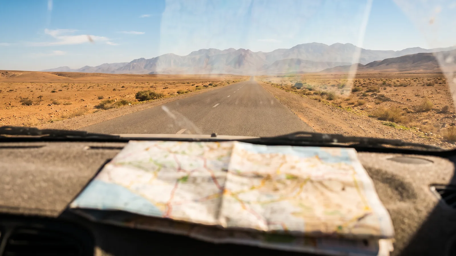
Map of Morocco with cities: regions, main cities and distances
Before you hire a car, it helps to know where you are going. Here is the map of Morocco as a driver reads it: the 12 regions and their capitals, the main cities in Morocco, the crow-fly distances between them, and the cities where you can pick up a car on Loccor.
AI-generated illustration (Google Gemini)
Published on 3 October 2026
Contents
- Map of Morocco: the 12 regions and their capitals
- The biggest cities in Morocco, and Rabat, the capital
- Crow-fly distances from Casablanca
- Crow-fly distances from Marrakech
- Marrakech to Agadir distance: 205 km as the crow flies
- Which cities in Morocco can you hire a car in?
- Atlas Mountains on the map of Morocco: where the High Atlas mountain range runs
Map of Morocco: the 12 regions and their capitals
Since the 2015 administrative reform, Morocco has 12 regions. From north to south: Tanger-Tétouan-Al Hoceïma (capital Tangier), Oriental (Oujda), Fès-Meknès (Fez), Rabat-Salé-Kénitra (Rabat), Béni Mellal-Khénifra (Béni Mellal), Casablanca-Settat (Casablanca), Marrakech-Safi (Marrakech), Drâa-Tafilalet (Errachidia), Souss-Massa (Agadir), Guelmim-Oued Noun (Guelmim), Laâyoune-Sakia El Hamra (Laâyoune) and Dakhla-Oued Ed-Dahab (Dakhla).
For a traveller, the map is easier read as four areas: the north and the Rif (Tangier, Tetouan, Chefchaouen, Al Hoceima, Nador), the Atlantic coast (Rabat, Casablanca, El Jadida, Essaouira, Agadir), the interior and imperial cities (Fez, Meknes, Marrakech), and the south beyond the Atlas (Ouarzazate, Errachidia, Tiznit, then Laâyoune and Dakhla).
The biggest cities in Morocco, and Rabat, the capital
Casablanca is the largest city in Morocco and home to its main international airport. Rabat is the capital. Marrakech, Fez and Meknes are, with Rabat, the four imperial cities. Tangier faces the Strait of Gibraltar, Agadir is the big seaside city of the south, and Ouarzazate is the starting point for the valleys on the edge of the Sahara.
Most of these cities are linked by motorway: Tangier, Rabat and Casablanca along the Atlantic, then Marrakech and Agadir further south, and Fez and Meknes to the east. Our toll guide explains how to pay.
Crow-fly distances from Casablanca
Computed from city coordinates and rounded to the nearest 5 km: Rabat 85 km, El Jadida 90 km, Meknes 190 km, Marrakech 220 km, Fez 245 km, Chefchaouen 280 km, Tangier 290 km, Tetouan 300 km, Ouarzazate 300 km, Essaouira 305 km, Errachidia 350 km, Al Hoceima 385 km, Agadir 400 km, Nador 465 km, Tiznit 475 km, Oujda 535 km, Laâyoune 895 km and Dakhla 1,370 km.
By road, the distance is always longer than the straight line, and the gap grows in the mountains: in the Atlas and the Rif, allow plenty of time.
Crow-fly distances from Marrakech
From Marrakech, again as the crow flies and to the nearest 5 km: Ouarzazate 125 km, Essaouira 170 km, El Jadida 185 km, Agadir 205 km, Casablanca 220 km, Tiznit 270 km, Rabat 285 km, Meknes 340 km, Errachidia 340 km, Fez 385 km, Chefchaouen 465 km, Tangier 500 km, Tetouan 500 km, Al Hoceima 550 km, Nador 610 km, Oujda 660 km, Laâyoune 710 km and Dakhla 1,180 km.
Ouarzazate looks close on the map, but the road crosses the High Atlas over the Tizi n’Tichka pass. Plan a day's drive with stops, not a quick hop.
Marrakech to Agadir distance: 205 km as the crow flies
The distance from Marrakech to Agadir is about 205 kilometres as the crow flies, using the same calculation as above. Plenty of travellers make this drive, which links the imperial city with the big seaside city of the south.
By road it is longer, because you have to cross the western High Atlas. The two cities are linked by the A7 motorway, the simplest and most predictable option; the old national road is slower, runs through mountain villages and suits you if you want to stop along the way.
In the other direction, the Agadir to Marrakech distance is the same. Drive in daylight to enjoy the mountains, fill up before leaving town and have a way to pay the tolls: our toll guide explains how.
You can also pick up the car in Marrakech and drop it off in Agadir, if the agency accepts a return in another city: this is a one-way rental, explained in our dedicated guide.
Which cities in Morocco can you hire a car in?
On 3 October 2026, the Loccor catalogue listed cars in 11 cities: Casablanca, Marrakech, Al Hoceima, Tangier, Tetouan, Rabat, Ouarzazate, Fez, Nador, Essaouira and Agadir.
The search page shows a map of Morocco with the cities where cars are available: click a city to see its cars. The agency's exact address is sent to you once your booking is confirmed, and on the Flexible option at the end of the cancellation window, 72 hours before pick-up.
Atlas Mountains on the map of Morocco: where the High Atlas mountain range runs
On the map of Morocco, the Atlas Mountains cut the country in two along a line running from the south-west to the north-east. North and west of them lie the Atlantic plains and the imperial cities; beyond them lies the south: Ouarzazate, Errachidia and the edge of the Sahara. That is why this guide speaks of the south as the land beyond the Atlas.
The Atlas is several ranges, not one. The Middle Atlas rises south of Fez and Meknes, around Ifrane and Azrou. The High Atlas, the highest, runs between Marrakech and Ouarzazate and includes Jbel Toubkal, the highest peak in North Africa. Further south, beyond the Souss valley, the lower and drier Anti-Atlas stretches inland from Agadir and Tiznit.
For a driver, the map hides the real cost of crossing them. The road from Marrakech to Ouarzazate climbs over the Tizi n'Tichka pass, and the A7 motorway to Agadir crosses the western High Atlas: in both cases the crow-fly distances above, 125 km and 205 km, say little about the time at the wheel. Plan these crossings in daylight, and in winter check that snow has not closed the Tichka pass.
Frequently asked questions
How many regions does Morocco have?
Twelve, since the 2015 reform: from Tanger-Tétouan-Al Hoceïma in the north to Dakhla-Oued Ed-Dahab in the south.
What is the capital of Morocco?
Rabat is the capital of Morocco. Casablanca, often mistaken for the capital, is the largest city in the country and home to its main international airport, Mohammed V. Rabat is also one of the four imperial cities, with Fez, Meknes and Marrakech.
What are the main cities in Morocco?
Casablanca, Rabat (the capital), Marrakech, Fez, Meknes, Tangier, Agadir, Oujda, Tetouan and Nador are among the largest cities in Morocco.
How far is Marrakech from Casablanca?
About 220 kilometres as the crow flies. The two cities are linked by motorway.
How far is Agadir from Marrakech?
About 205 kilometres as the crow flies, in either direction. The road is longer because it crosses the western High Atlas; the two cities are linked by the A7 motorway.
Where can I see a map of the Moroccan cities where I can hire a car?
The Loccor search page shows a map of Morocco with the cities where cars are available. On 3 October 2026, it showed 11.
Dakhla, Morocco: how far is it, and can you hire a car there?
Allow about 1,165 km by road from Agadir and 537 km from Laâyoune. Dakhla airport (VIL) is about 5 km from town. Dakhla has its own page on Loccor, but on 3 October 2026 it was not among the 11 cities where the catalogue listed cars: check the city page for your dates before you plan the trip.
Where is Morocco located in Africa?
Morocco is in North Africa, in the north-west corner of the continent. It has an Atlantic coast to the west, a Mediterranean coast to the north and Algeria to the east. Tangier faces the Strait of Gibraltar, the narrow stretch of sea that separates Morocco from Spain.
What continent is Morocco in: is Morocco in Africa or Europe?
Morocco is in Africa. It is a North African country, even though Europe is very close: only the Strait of Gibraltar separates Tangier from the Spanish coast. That is why some visitors arrive by ferry from Spain, while most fly in and rent a car on arrival.
Where is Casablanca located, and where are Marrakech, Rabat and Agadir?
Casablanca is on the Atlantic coast, about 85 km south-west of Rabat, the capital, as the crow flies. Marrakech is inland, about 220 km south of Casablanca. Agadir is on the Atlantic further south, 205 km from Marrakech. All four cities are linked by motorway.
How far is Tangier from Marrakech?
About 500 km as the crow flies. By road it is further: the motorway follows the Atlantic from Tangier to Rabat and Casablanca, then heads south to Marrakech. A stop in Rabat or Casablanca makes the drive easier.
Where is Essaouira on the map of Morocco?
On the Atlantic coast, between El Jadida and Agadir. As the crow flies, Essaouira is 170 km from Marrakech and 305 km from Casablanca.
Fez location: where is Fez located on the map of Morocco?
Inland, with Meknes and the imperial cities, in the Fès-Meknès region. As the crow flies, Fez is 245 km from Casablanca and 385 km from Marrakech.
Sahara desert map: where are the Saharan dunes in Morocco?
In the south-east. The drive through Ouarzazate, Tinghir and Erfoud leads to the dunes of Merzouga; further west, the N9 runs down the Draa valley through Agdz and Zagora to M’Hamid El Ghizlane, where the tarmac ends.
What does the map of north Morocco show?
The north and the Rif: Tangier, Tetouan, Chefchaouen, Al Hoceima and Nador, in the Tanger-Tétouan-Al Hoceïma region, whose capital is Tangier.
Do the Atlas Mountains on a map of Africa stretch beyond Morocco?
Yes. The Atlas range runs across north-west Africa, from the Moroccan Atlantic coast into Algeria and Tunisia. Its highest part is in Morocco, in the High Atlas, which is also the part you drive across on a road trip.
Where are Taghazout and Ouarzazate on the map of Morocco?
Taghazout is on the Atlantic coast, about twenty kilometres north of Agadir on the N1 coast road through Tamraght. Ouarzazate is inland, south of the High Atlas: as the crow flies, it is 125 km from Marrakech and 300 km from Casablanca, with the Tizi n'Tichka pass between it and Marrakech.
Do you need a city map of Marrakech, Rabat or Agadir to drive there?
This page maps the country, not the streets. In town, offline maps downloaded to your phone do the job, but they do not know which medina lanes are closed to cars: in Marrakech and Rabat, park at the medina gates and walk in. Agadir, rebuilt on a modern plan with wide boulevards, is the easiest of the three to drive.
Further reading
see the map of cities where you can hire a car
tolls and motorways in Morocco
Fez and the imperial cities by car
Sources
Visit Morocco — visitmorocco.com
The Smart Choice in Morocco
Ready to Hit the Road in Morocco with Total Freedom?
Written by the Loccor editorial team, the platform connecting travellers with car rental agencies in Morocco.
Browse the cars available to rent in Morocco
Cars available to rent in Casablanca
- Hyundai i10 2025
- · Dacia Sandero 2025
- · Dacia Logan 2025
- · Citroën C-Elysée 2025
- · Fiat 500 2025
- · Geely GX3 2025
- · Nissan Micra 2025
- · Citroën C3 2025
- · Renault Clio 2025
- · Renault Express 2025
- · Peugeot 208 2025
- · Dacia Sandero Stepway 2025
More articles from the guide
SIM card in Morocco and the +212 country code: staying connected on the road
Morocco language: what do people speak in Morocco?
Automatic car hire in Morocco: cities, models and prices
Unlimited mileage car hire in Morocco: what to check
Car hire without deposit in Morocco: cities, prices and conditions
Morocco visa from the UK: passport, e-visa and driving licence